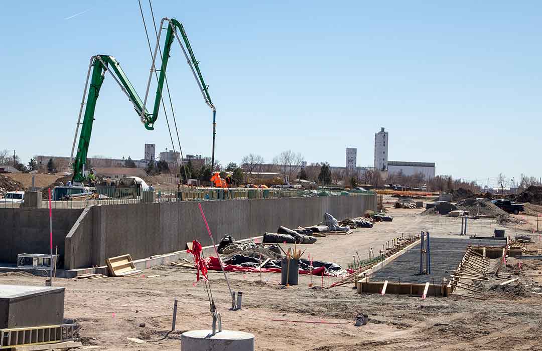
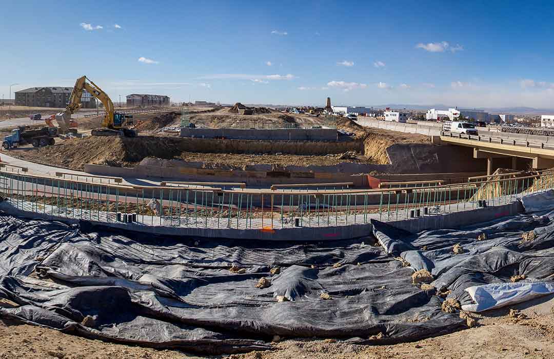
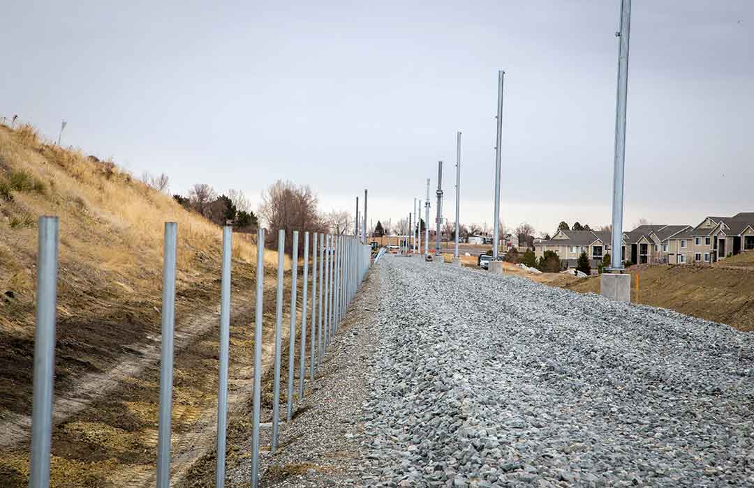
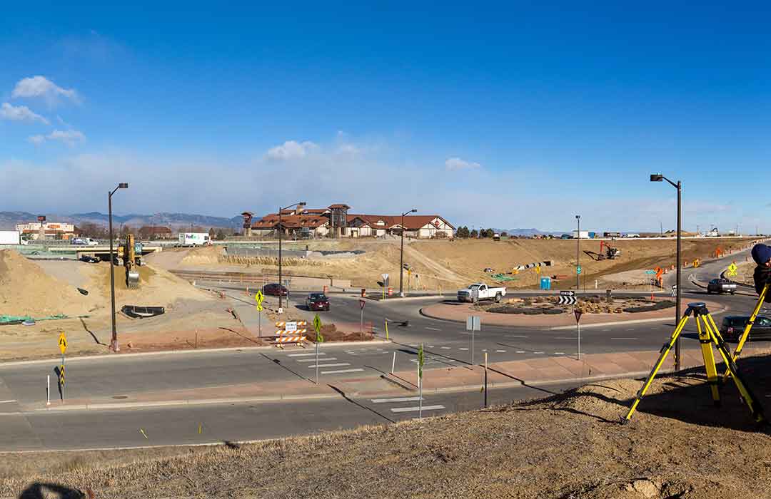
Surveying is a critical early step for residential and commercial construction as well as land development.
Get the job done right the first time with W.H. Smith. WHS has been in business since 1967, providing the highest level of professional land surveying services to a broad range of industries. Construction, land development and oil and gas professionals all agree, no other surveying company tops WHS when it comes to service. Our highly trained and professional staff is ready to take on your project. Our goal is to complete your project in the most cost-effective and timely manner possible.
TRAINED & EXPERIENCED
OUR SURVEY SERVICES
WHS is proud to have one of the most experienced teams of surveyors and draftsmen in the industry. Our staff is based out of offices in Green River, Lander & Rock Springs, Wyoming; Grand Junction & Loveland, Colorado; and Dickinson, North Dakota. WHS makes sure our staff gets the very best training available in technologies such as AutoCAD and GPS. We also give our staff opportunities to attend continuing education.
LATEST TECH & EQUIPMENT
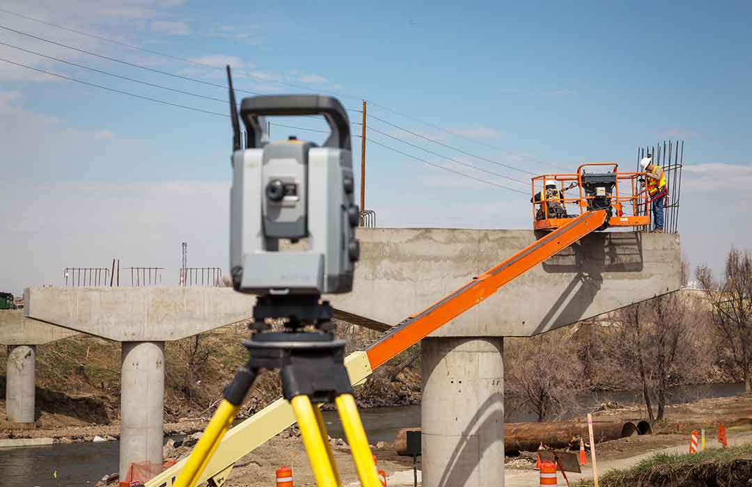
Our survey equipment includes Trimble GPS scanners, robotic total stations and digital levels. We also use state-of-the-art software, including AutoCAD Civil 3D with Carlson Civil, and GIS, a system for storing, retrieving, mapping and analyzing geographic data.
ENERGY INDUSTRY & WHS
Getting a new oil or gas drilling field up and running is no small investment. Choosing the right surveyor is one of the most important decisions you will make. Oil and gas industry experts in the western United States know that WHS sets the professional standard for quality, comprehensive surveying services. Since 1967, we have deep experience in the profession, from cadastral and control projects to oil field and construction surveying. Whether your project involves surveying a single field, or acres of potential drilling area, we have the people, equipment and technology to get the job done right the first time.
Deciding where a well is drilled is a complicated process that involves multiple factors and entities. We’ll work with the appropriate parties to figure all that out and make sure your well is in a location approved by the appropriate governing agency. Our permit, surface use and unit plats are precise and help to facilitate the smooth allocation of funds. We also provide as-built surveying services that give an accurate depiction of how the well was drilled and its surroundings – a highly valuable maintenance and planning tool.
Deciding where a well is drilled is a complicated process that involves multiple factors and entities. We’ll work with the appropriate parties to figure all that out and make sure your well is in a location approved by the appropriate governing agency. Our permit, surface use and unit plats are precise and help to facilitate the smooth allocation of funds. We also provide as-built surveying services that give an accurate depiction of how the well was drilled and its surroundings – a highly valuable maintenance and planning tool.
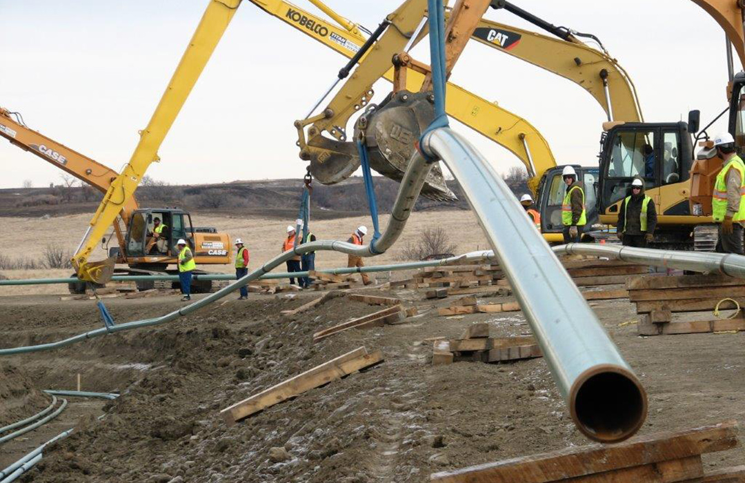
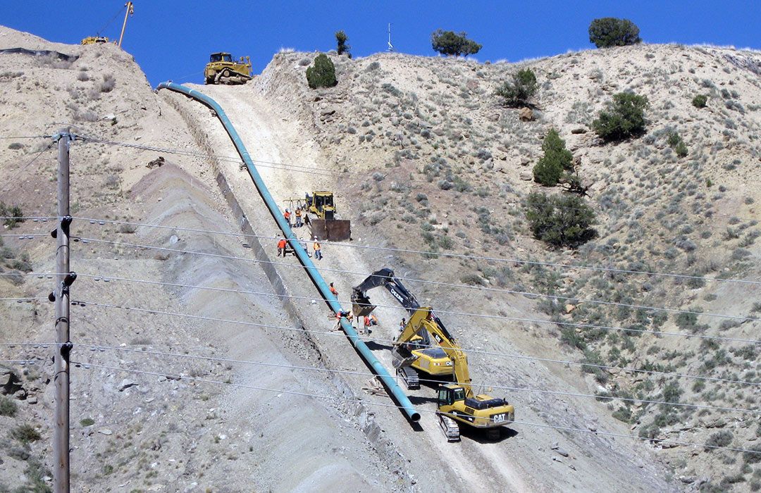
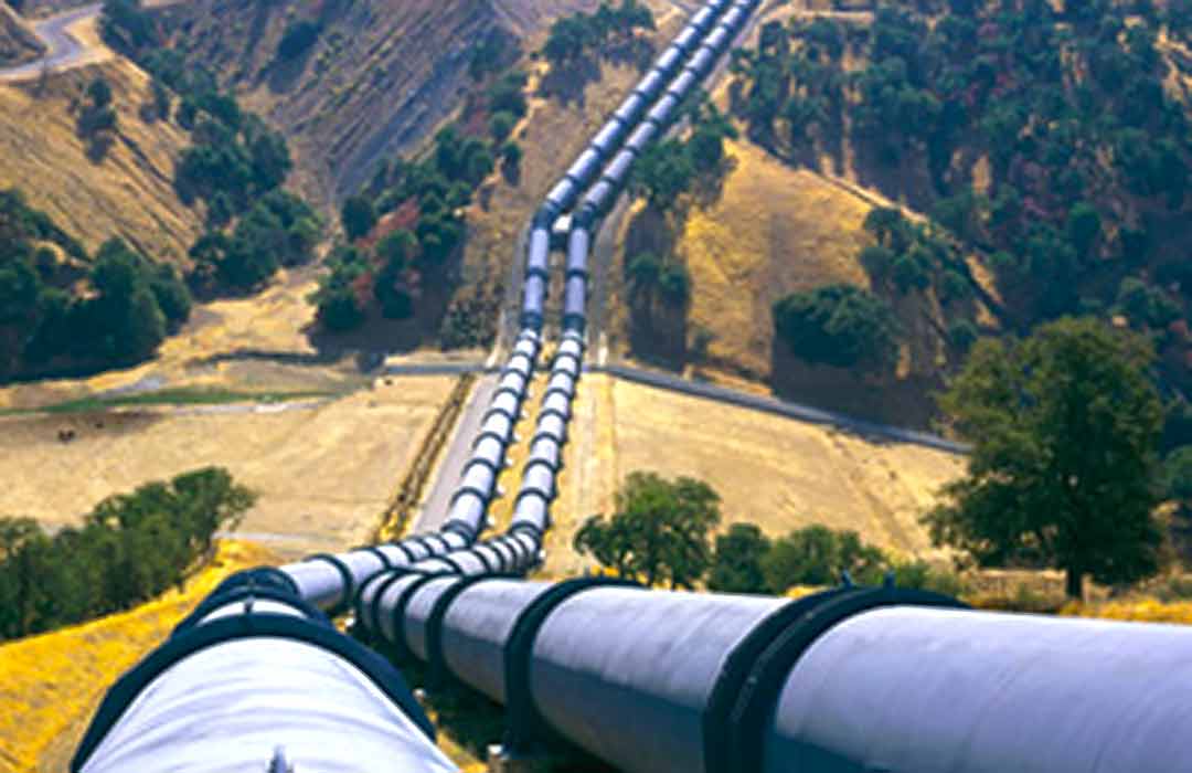
We’ll help you determine the best pipeline route to transfer oil, gas and other products and clearly stake the path for right-of-way purchases and construction. Our meticulous as-built surveys account for the precise location of every weld and joint of pipe used, which can save you time and resources should you need to locate your subsurface facility in the future. Our accurate as-built data can also aid tremendously with future tie-ins and pipeline crossings.
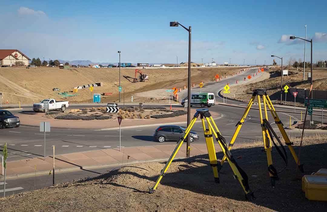
Upon completion of extensive worksite surveying, WHS stakes out reference points and markers to guide new construction, verify structural location during construction and conduct an as-built survey – finishing the project to plan specifications.
In cases where preparation for immediate or future sale or development of land is necessary. WHS will conduct a thorough survey to prepare the appropriate plats needed.
When your project requires a boundary survey WHS will prepare them to standards jointly required by the American Land Title Association (ALTA) and the American Congress on Surveying and Mapping (ACSM). These surveys show improvements, easements, rights-of-way, and other elements that affect land ownership. These surveys also provide the title company with information to insure the title to the land. During project completion, areas of ownership, improvements and encumbrances are shown graphically.
With GIS we are capable of creating, managing, analyzing, and mapping all types of data. GIS connects data to a map, integrating location data (where things are) with all types of descriptive information (what things are like there). This provides a foundation for mapping and analysis that is used in science and almost every industry. GIS helps us understand patterns, relationships, and geographic context. The benefits include improved communication and efficiency as well as better management and decision-making.
Control surveys are used to adjust and verify the accuracy of project-specific surveys. We verify all project surveys against control surveys with horizontal control up through First Order by triangulation, trilateration, traverse or a combination of these techniques and vertical control through Second Order Class I.
Topographical surveys involve recording the terrain, mapping the three-dimensional quality of the surface, and identifying specific landforms. We use aerial photogrammetry, LiDAR, and grid system methods as well as GPS to produce the data for highly accurate topographic maps.
Because a quality survey is only as good as the plats and other documentation needed to obtain permits and work orders, drafting is central to our client services. We offer a quick turnaround and make sure that what we deliver is easy to read and follow. WHS handles all types of drafting, including well location plat packets, pipeline alignment drawings, road designs, ALTA surveys, property boundary surveys, topographic surveys, SWPP and BMP drawings, subdivisions, as-built or Record of Survey drawings, etc.
