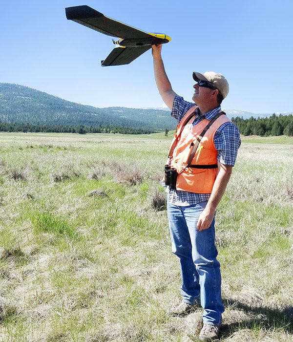
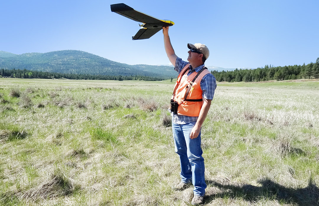
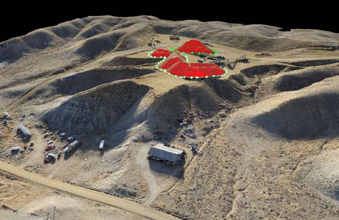
Armed with a built-in camera and a map of the site a drone photographs the land parcel and plots it to a map.
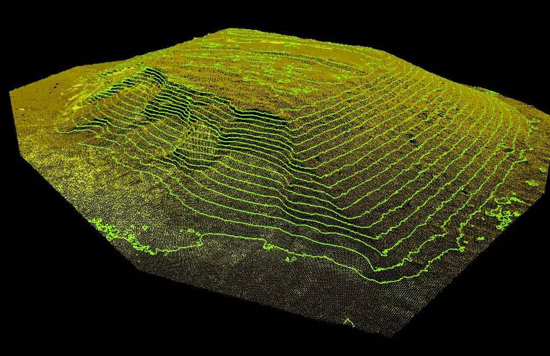
Once it lands, we download collected images and combine the images with either the surveyed ground control points or the drone’s Real Time Kinematics (RTK) data into a photogrammetric software package. This process produces a high-resolution orthophoto (aerial photo geometrically corrected) of the site, along with a dense point cloud, which can then be imported into CAD software for further analysis.
UAV/DRONE SERVICES
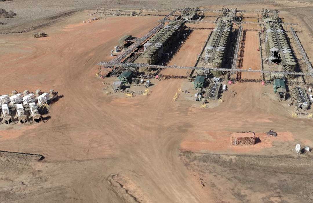
Using state of the art professional equipment and superior sensors that yield high frame rates, color response, and resolution, we can make any location, scene, or view into an immersive 3 dimensional visual experience.
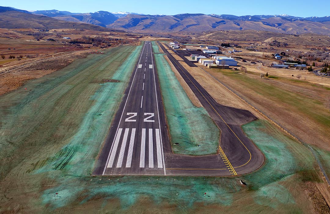
An area of 200 acres or more can be photographed with a single flight. Within a few hours digital maps can be generated, with resolution much better than commercial satellite imagery. Small details are easily documented and changes can be quickly identified when multiple flights are compared. Smaller areas can be mapped at higher resolutions, down to less than 1/4 inch per pixel. These maps are ortho-corrected, meaning that they are corrected for the earth’s curvature, making it possible to accurately measure distances directly from them.
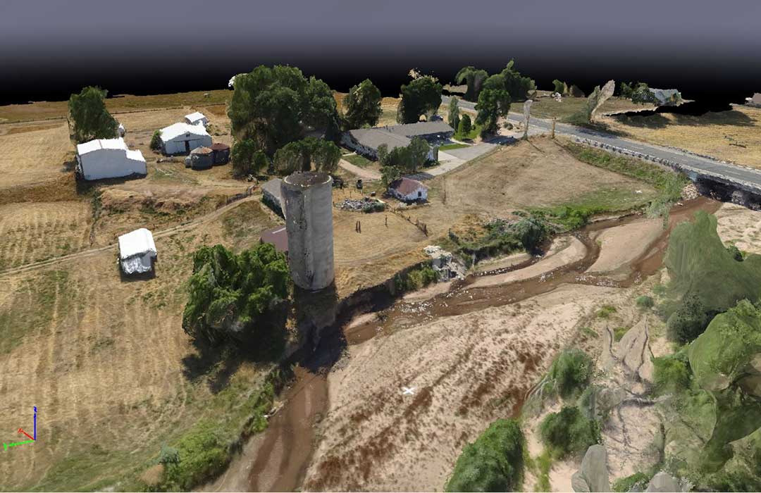
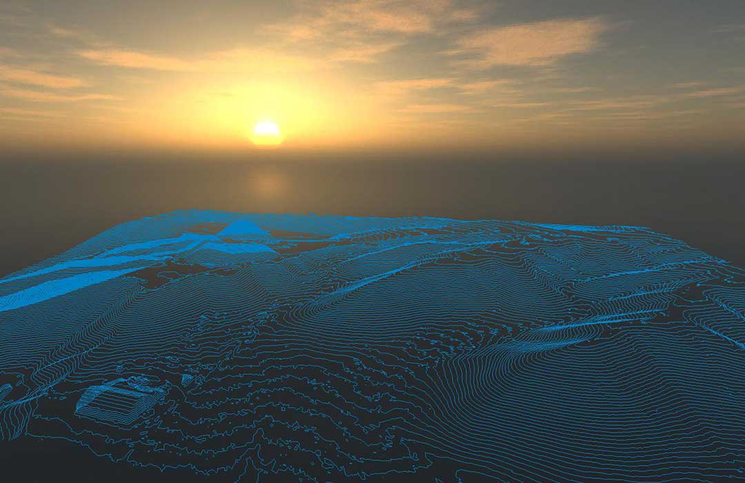
Maps no longer have to be strictly 2D. Using sophisticated software we can use imagery to construct an accurate model of the site’s terrain in three dimensions. Vertical features can be viewed, measured, and digitally shared.
Digital photography collects much more than just an image. Embedded in every pixel are layers of data that can be used for measuring and comparing pixels and images on multiple levels. We have specialized software that gives “Site Analysis” a new meaning.
An orthophoto mosaic is a merging of aerial photos into a single, flat image that is projected to correct for the earth’s curvature. A bird’s eye perspective can make many things clear that might be confusing from the ground.
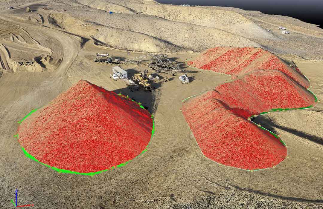
In a few minutes a location can be documented in 3D, including material volumes, equipment, site conditions, and dimensions. With repeated flights a virtual timeline of information about your site can be built.
Information recorded remotely means no shut downs, fewer on-site hazards, and minimal intrusions onto the site or the environment.
