Project Description
Client: Federal Highway Administration, Western Lands Division
Partner: Robert Peccia & Associates
Location: Pleasant Valley, Montana
Nearest City: Kalispell, Montana
Category: Drone Mapping and Planning
Service Summary
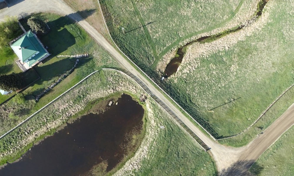
WH Smith & Associates partnered with Robert Peccia & Associates from Helena, Montana to complete a 6.1-mile corridor topographic survey of the Pleasant Valley road construction & realignment project. This road was built on an abandoned railroad bed that crosses the Pleasant Valley US Fish & Wildlife Sanctuary near Kalispell, Montana and was being re-routed to circumvent more of the refuge area. Federal Highway Administration Western Lands Division is administering the construction contract and wanted to gain an insight into remotely collected topographic surveys by UAS by testing out the system on a corridor project. We developed a sophisticated set of flight plans that would collect the data while satisfying FAA visual line-of-sight requirements and flew the corridor on May 7th, 2016, at the beginning of construction, collecting in excess of 250 million topographic data points. Several hundred QA/QC points were collected by standard GPS methods to compare with the UAS generated data with good correlation. The project will be flown again in May 2017, after construction, to provide before and after high-resolution ortho imagery and terrain data suitable for volume calculations.


